Hatbakker på Langeland
Oplev Langelands unikke hatbakker - skabt under sidste istid
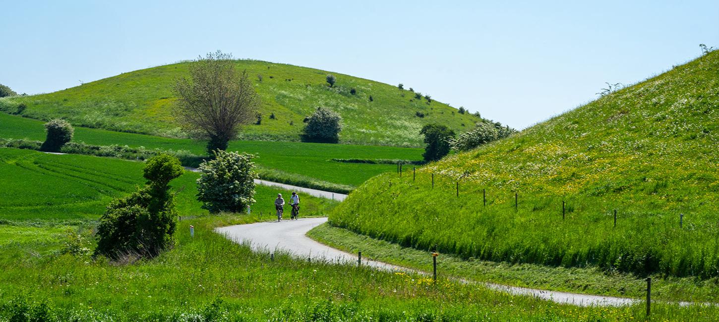
On Langeland, long straight rows of low, round hills define the island’s landscape. In fact, Langeland is the only part of Denmark where you can see this type of landscape so clearly.They are known as “hat hills” or “hat-shaped hills” and there are over 1,000 of them. They were all created by a glacier that decided to park itself right here.

Photo:VisitLangeland
Langeland’s landscape was created during the last Ice Age by a glacier which moved over eastern Denmark around 17,000 years ago (an episode known as the Belthav Readvance).The hat hills sit in eight to ten parallel rows, that run f rom the north to the south. This can be most clearly seen in the middle of the island. The rows follow the orientation of the glacial margins. This leads geologists to believe they were formed in connection with the edge of the glacier. However, they are still not completely certain of the exact processes involved.

Photo:VisitLangeland
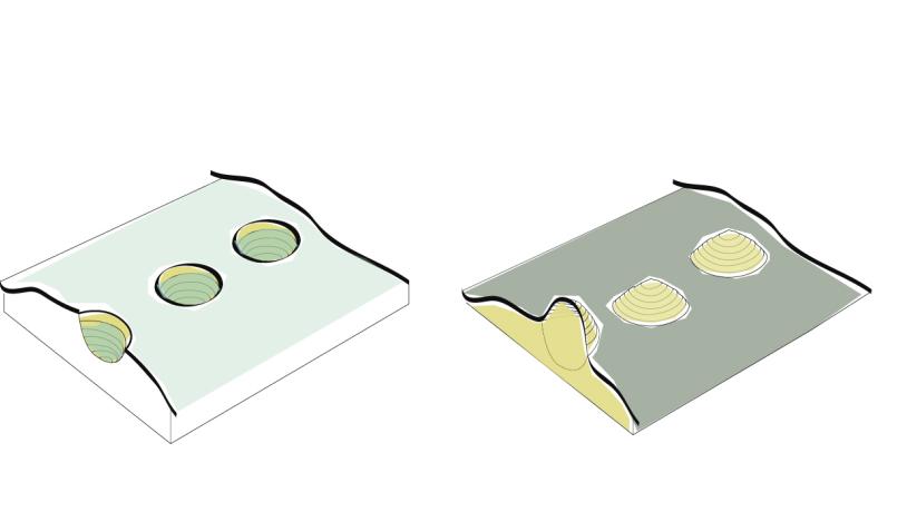
One theory about how the hat hills were for-med proposes that meltwater lakes formed in a network of cracks in the ice close to the glaciers edge. Materials such as sand, stones, and gravel were deposited in these lakes to form a layer of sediment and when the ice finally melted away, these sediments were left standing as what we today call hatshaped hills.

Photo:VisitLangeland
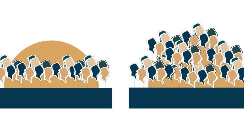
Hat hills can look very different depending on if they have trees growing on them, and if so, where they are growing. Trees growing on the top of a hill will emphasize its rounded shape, while trees growing around its base will make the shape more difficult to see. Many of the hat hills on the northern half of Langeland are covered in trees, which means the hats hills cannot be seen as clearly as they can on the southern part of the island.

Photo:VisitLangeland
Some hat hills next to the coast have been ero-ded by wave action. This allows you to see their internal structure and their unique sedimentary stratification.

Photo:VisitLangeland
Hat hills have been used for many purposes; some have been cultivated, others as sites for special buildings, some have even been hol-lowed out and used as ice houses. Some have even disappeared over the years, as people used them as a source of gravel.
Hør podcastet - Lyden af Hatbakker
Bliv Hatbakke Erobrer
Prøv kræfter med Hatbakkerne og få det særlig HATBAKKE EROBRER! badge.
Vi har udvalgt 8 særlige hatbakke-udfordringer til dig,som alle giver forskellige hatbakke-point. Hvis du opnår de magiske 100-hatbakke-point får du det eftertragtede Hatbakke Erobrer! Badge.

